| Number | — | Similar Title |
|---|
| 2513 | | View of Capt. Jack's stronghold in the Lava Bed, showing Modoc fortification in fore and back grounds. Mount Shasta in the distance, looking South-west. |
| 2522 | | View of Shasta Valley and Mount Shasta, looking South-east |
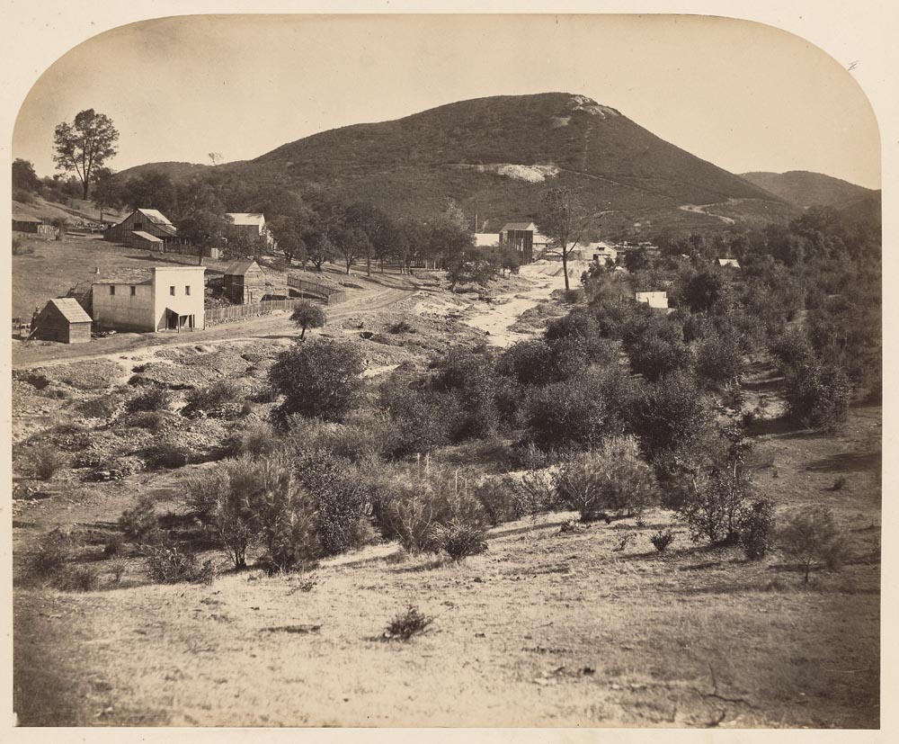
| unnumbered | | Mount Ophir, Looking North |
| 57 | | Looking up the South Fork from the top of the Vernal Fall |
| 1384 | | Kearny Street from Broadway - looking South |
| 2501 | | Lava Bed, looking South East |
| 2516 | | View of Lava Bed, looking South-west. |
| 2521 | | View of Lava Bed, looking South-east, showing the spot where the Modocs camped, and to the right of the trail by which they escaped from their stronghold. |
| 167 | | Emigrant Gap, looking East. Yuba Mountains in distance |
| 167 | | Emigrant Gap, looking East. Yuba Mountains in distance |